

A project called the Earth Archive has been launched in the United States to create a 3D map of the entire planet. The project is coordinated by scientists of the Colorado State University (United States), Chris Fisher and Steve Leisz.
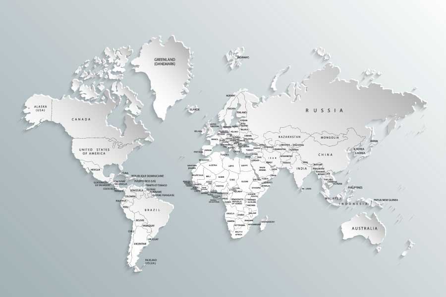
3D maps will be created using the remote sensing method to scan the Earth surface with lasers from planes. The essential goal of the project is to preserve data about the areas that may significantly change very soon due to deforestation, ice melting and other changes to nature and climate.
The map will serve as a basis that can further be edited and supplemented with any objects that were not detected by remote sensing, etc. The project may take several decades to complete. There is no final budget for the project yet; it is only known that mapping Amazonia will require $10 mio and three years. The project may still be hindered by the Brazilian government that is reluctant to reveal the actual scale of deforestation in the region.
According to the Popular Mechanics portal, scanning the Earth surface using Light Detection and Ranging (LiDAR) has recently provided an increasing amount of research findings – specifically, in archaeology where LiDAR allows discovering lost cities in the dense jungle of Africa and South America. It is using this method that in 2007, one of the Earth Archive founders, Chris Fisher, found a lost city in Honduras.