

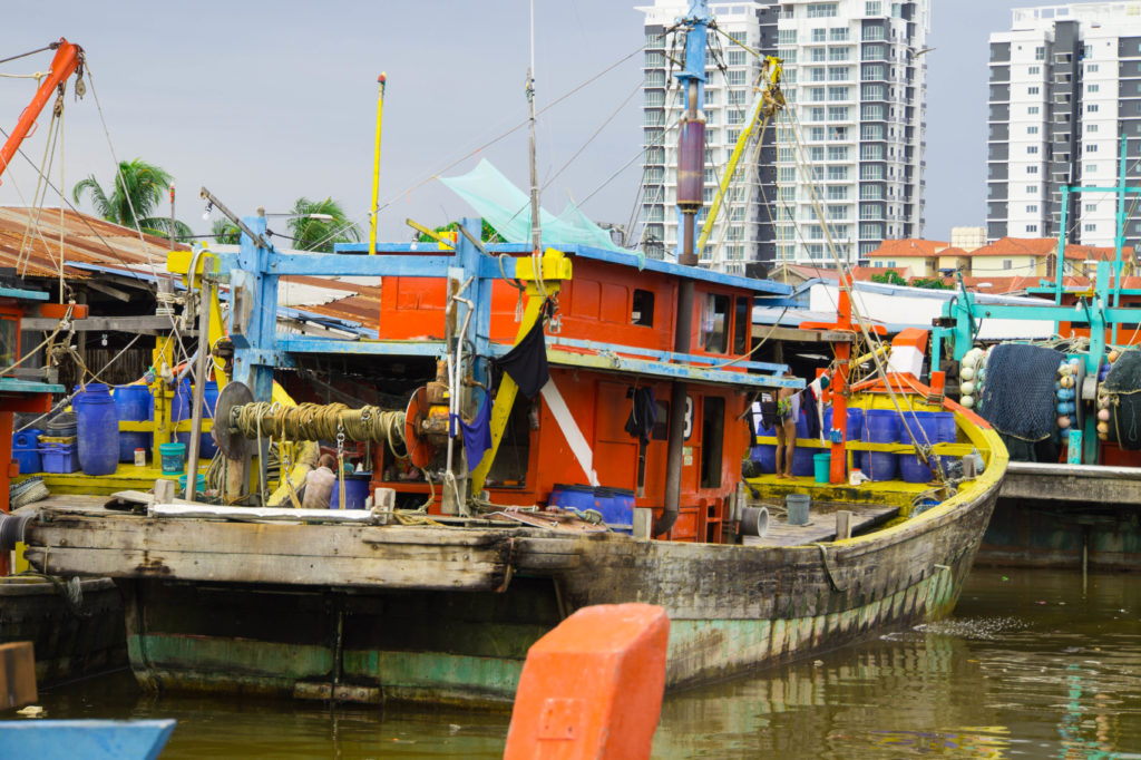
Today tracking and monitoring of all local fishing fleet vessels is limited by the receiving range of the used base stations. What about if a vessel is out of range and no longer trackable for a bunch of hours? Where have these vessels been? What has been done at this location? How long did it take?
Persistent 24/7 tracking becomes more and more important to know where the vessels are located in the near and far vicinity, Pressebox portal reports. “Geo Fencing”, “Coastal Surveillance” and “Maritime Domain Awareness” as well as “IUU – illegal, unreported & unregulated fishing” are big topics of today.
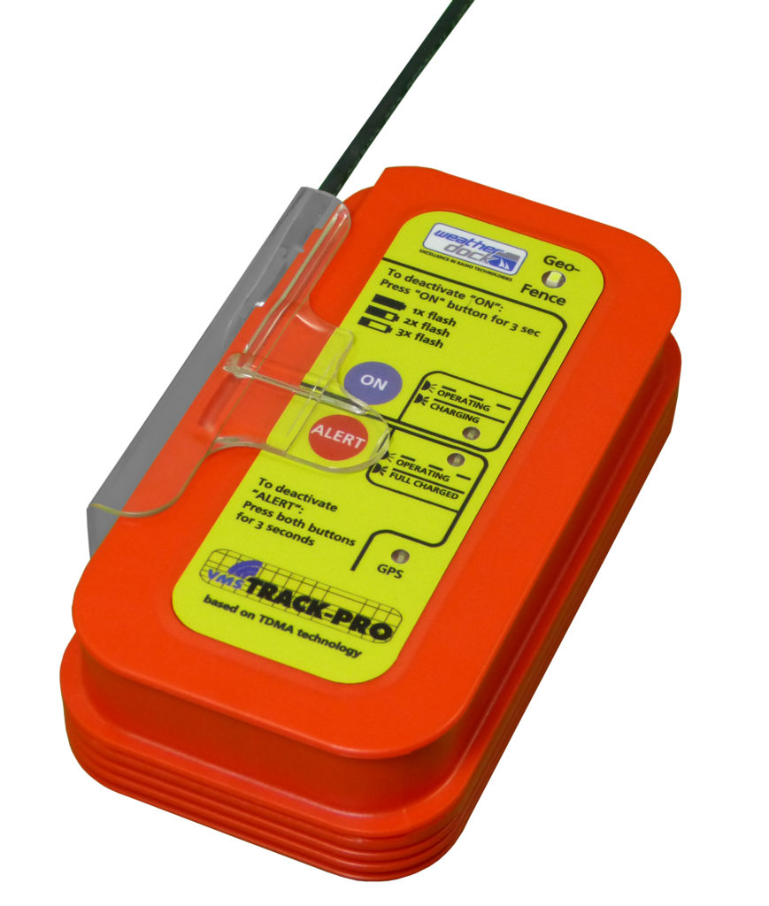
The state of the art technology which is employed to control, monitor and overcome the existing problems of IUU is a technology used at commercial vessels for traffic monitoring since 2000 and called AIS. The abbreviation stands for ‘Automatic Identification System’ for vessels. VHF based AIS transponders, mounted on vessels, automatically transmit the position and velocity of the ship at regular intervals via standardized VHF frequencies into the AIS system. These data originate from an integral GPS receiver. Other information, such as the vessel name and VHF call sign, is entered when installing the equipment. The signals are received by AIS transponders fitted on other ships or on land-based monitoring systems. In order to ensure that the VHF transmissions of different AIS transponders do not occur at the same time they are time multiplexed. The AIS technology is also ideal for monitoring small fishing vessels. A small simple transmitter of a size of a smartphone but slightly thicker, transmits the actual position of a small fishing vessel (like AIS, but on customized VHF frequencies). The small transmitter called vmsTRACK-PRO is battery driven and can last unrecharged for up to 5 days. Alternatively, it can also be connected to the battery or the generator of the vessel.
With that device, the local authorities as the Boarder Guard, the Coast Guard or the Ministry of Fishing can monitor the activities of the fishermen in the economic zones of the coastal states. In addition, this system is also used as an intelligent tracking system that fulfills all requirements for naval border security. Tracking and identifying objects are big needs for authorities, and to know “friend or foe” will minimize terrorist risks.
Weatherdock AG, a world market leader in small vessel tracking devices, is combining latest technology – AIS tracking and satellite tracking for transmitting single position reports to the base station. It does not matter if the vessel is still within range or not. In case the vessel has left the receiving range of the base station, the German Locator Beacon switches automatically from terrestrial to satellite transmission. Immediately, position reports will be received by a huge and growing network of AIS capable satellites which forward the data to the base station.
There are several systems available for satellite based object tracking in the market. Some are using LEO (lower earth orbit) satellites, others geostationary satellites for receiving and forwarding AIS data all the vessels are transmitting on their way.
Weatherdock can offer AIS with any satellite system within the vmsTRACK-PRO unit.